 Deutsch
 English
 Español
 Français
Features
What the map shows besides supply points, and what you can do with it.
On the map
Once created, the map shows your route with all supply points found along it.
-
All the details on a POI
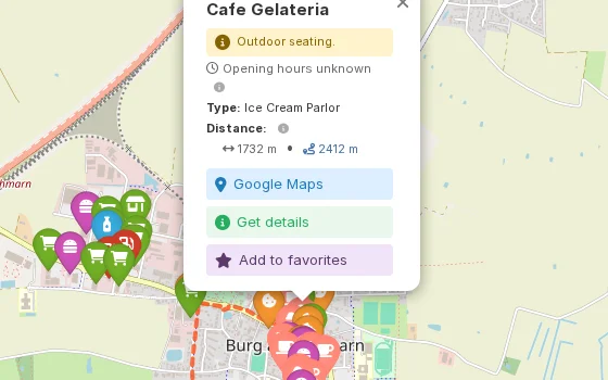
Click a marker to see the name, type and opening hours, and how far the POI is from the start and from the finish. Notes from OpenStreetMap, such as drinking water quality or fees, appear right alongside. “Get details” adds the address, rating and all opening hours.
-
Real distance, not as the crow flies
For every POI, OnRouteMap calculates the actual cycling distance, not just the straight-line distance. A dashed line on the map shows you the way from the route to the POI.
-
POI search
Search by name or category and use the slider to narrow the results to one section of the route. Click a result to jump to the POI, or use the star to save it as a favorite.
-
Filter by opening hours
Pick a weekday and time, and every POI that is closed then disappears from the map. You also see how many were hidden and how many have no opening hours on record.
-
Map styles and layers
Switch between OpenStreetMap, OpenCycleMap, a topographic map and satellite imagery. Hide categories one by one or as a group; your selection is saved per map. Hold down the M key to hide the route for a moment.
Weather & terrain
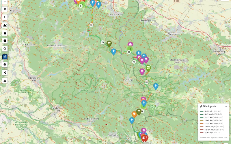
Show wind, rain and gradient directly on the map.
-
Wind
Animated arrows show wind direction and gusts, colored by strength. The route is colored too: green for tailwind, yellow for crosswind, red for headwind.
-
Rain radar
The animated radar shows the past hour and a forecast for the next two hours. It is available for routes in Germany and the adjacent border regions.
-
Gradients
The route is colored by gradient: descents in blue, climbs from yellow through orange to red. This requires elevation data in the GPX file.
Save & share
Mark the POIs where you want to stop and take them along to your GPS device or into your routebook.
-
Favorites
Mark the POIs where you want to stop with the star. Favorites belong to the map: anyone with the link sees them too.
-
Routebook
Your favorites become a printable list with name, place and type, the kilometers from the start and to the finish, and the distance from the route including direction.
-
Export for GPS devices
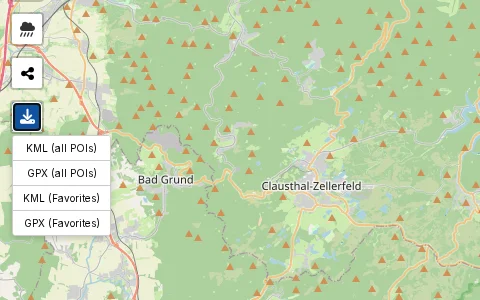
Download the route with all POIs as GPX or KML, or just your favorites. The markers keep their colors, even on Garmin and other GPS devices, and work there without internet.
-
Share via link and QR code
Share the map as a link, as a QR code or through your device's share menu.
Try it out
The user manual explains every feature in detail.